
Flooding levels in Aripeka, Florida, can be seen as the blue markers on the telephone pole. | By DanTD/Wikimedia Commons
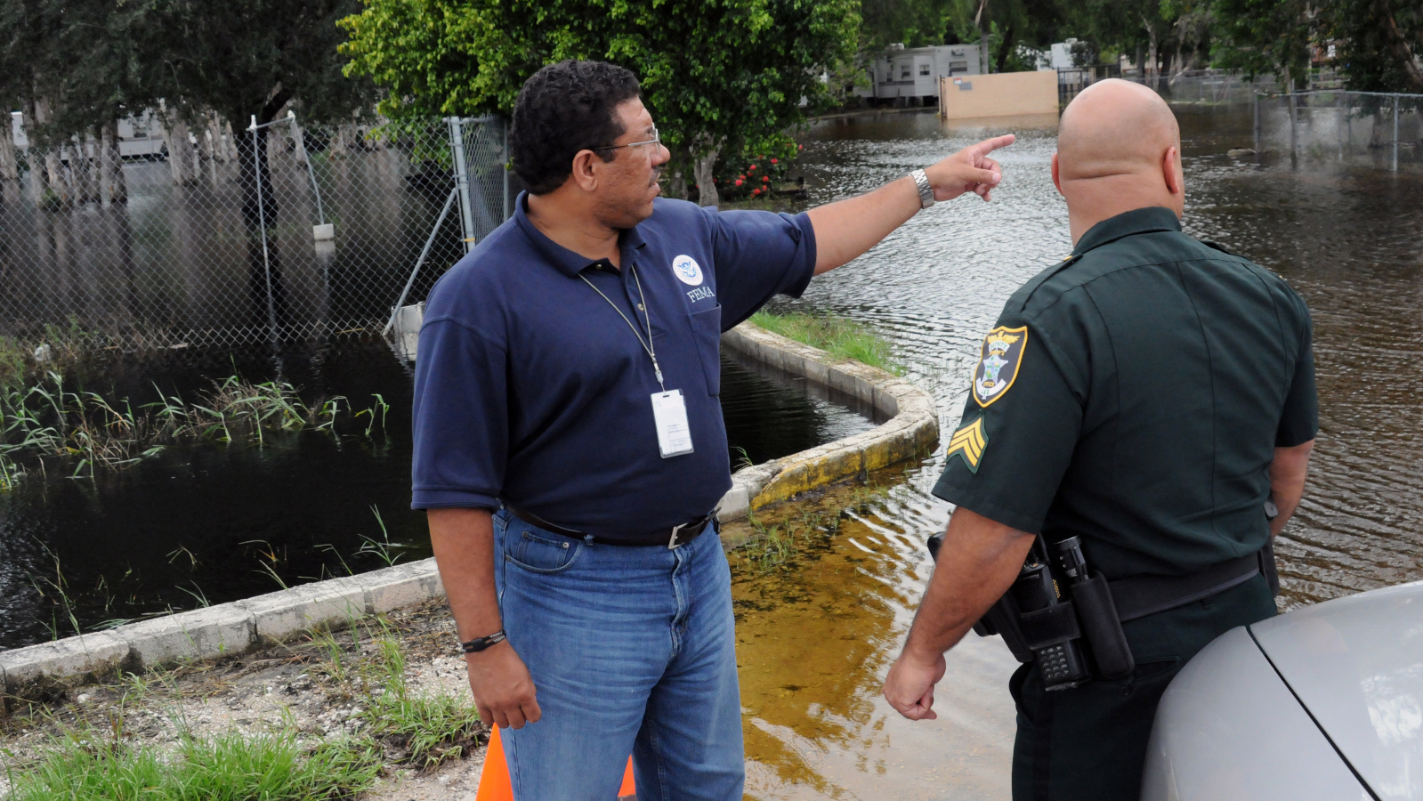
Flooding by Hurricane Sally and Tropical Storm Beta may cause tens of thousands of homeowners big losses because flaws in the Federal Emergency Management Agency’s floodplains maps listed them as living outside flood zones, so they didn’t have to buy flood insurance.
The catastrophic flooding revealed flaws that led homeowners to think they were not in danger of a significant flood risk so flood insurance wasn’t necessary, Scientific American reported.
After a Category 2 Hurricane Sally made landfall near Gulf Shores, Alabama, it caused flooding from torrential rain and storm surge. That spread inland into Georgia, the Carolinas and Virginia
Rainfall caused major flooding in the Florida Panhandle and southern Alabama. Molino, Florida, near Pensacola, saw more than 16 inches of rain in 24 hours as recorded in a U.S. Geological Survey gauge, Scientific American reported.
And there’s the problem, Jeremy Porter, First Street Foundation’s chief researcher told the magazine. The New York City nonprofit created its own high-definition flood maps.
Flooding from major rainstorms don’t get taken into account by FEMA flood maps, Porter said. They only include rainfall for how it causes rivers and larger streams to overflow.
“They don’t take into account small creeks, tributaries and heavy pluvial events,” Porter told Scientific American. “Unfortunately for homeowners in this area, that’s going to drive a lot of the [recent] flooding, because it’s heavily pluvial.”
Sally’s slow crawl over Gulf Coast states mimicked how Hurricane Harvey drenched Texas in 2017 and Hurricane Florence did the same to North Carolina in 2018.
Homeowners living in high-risk flood zones must purchase flood insurance. But if you live outside these flood zones, you don’t have to buy it.
First Street Foundation identified 6 million more properties that face a 1% annual flood chance. First Street found 14.6 million properties while FEMA maps show only 8.6 million properties.
The area first hit by Hurricane Sally showed almost 250,000 properties listed in First Street’s flood zones that aren’t in FEMA’s maps. Santa Rosa County, Florida had 17,000 properties facing a significant risk while FEMA identified 10,900, Scientific American reported.
FEMA said its maps give people the wrong impression that they are safe from flooding if their property is outside of a flood zone. The maps aren’t predictions, but instead are snapshots in time of risk to identify minimum standards for floodplain management and high-risk areas.
“Hurricanes do not follow lines on a map. Where it can rain, it can flood,” FEMA Deputy Associate Administrator David Maurstad said, Scientific American reported.
Porter agreed with the agency. He said FEMA shows flood zones to help communities decide where development should occur. First Street shows individual property owners their flood risk to help them decide whether to take mitigation steps.
“They’d love to do some of the stuff we’re doing,” Porter said of FEMA.


 Alerts Sign-up