
Flood insurance policyholders in Florida should check FEMA's latest flood map data to find out how their property will be affected. | Adobe Stock
Pasco County wants property owners to check out how proposed changes to Flood Insurance Rate Maps could affect their properties and insurance rates.
As of June 5, the updated Federal Emergency Management Agency (FEMA) maps went into effect. The likelihood for flooding at every address is shown in Pasco County’s interactive, online map and homeowners can search for their own address to determine if any flood hazards affect them, Patch reported.
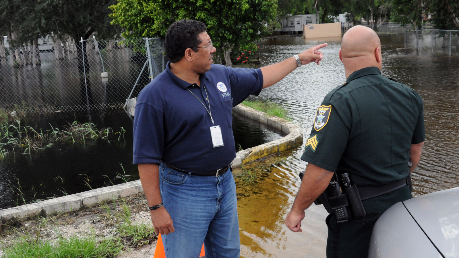
Flooding in Pasco County can happen if inches of rain fall quickly, when the rain continues for several days, when rivers or lakes overflow their banks, from storm surges coming from the Gulf of Mexico and with the arrival of hurricanes and tropical storms, Pasco County said.
Pasco County Floodplain Management suggests policyholders find out if the changes will have an affect on their flood insurance premiums by getting in touch with their insurance agents.
Property owners planning substantial improvements or new construction need to check the maps to make sure that construction meets the higher Base Flood Elevation, Patch reported. They can check the preliminary Flood Insurance Rate Map and Flood Insurance Study report for this information.
Property owners outside of Pasco County can use FEMA’s Flood Map Changes Viewer (FMCV).


 Alerts Sign-up